

13 November, 2019

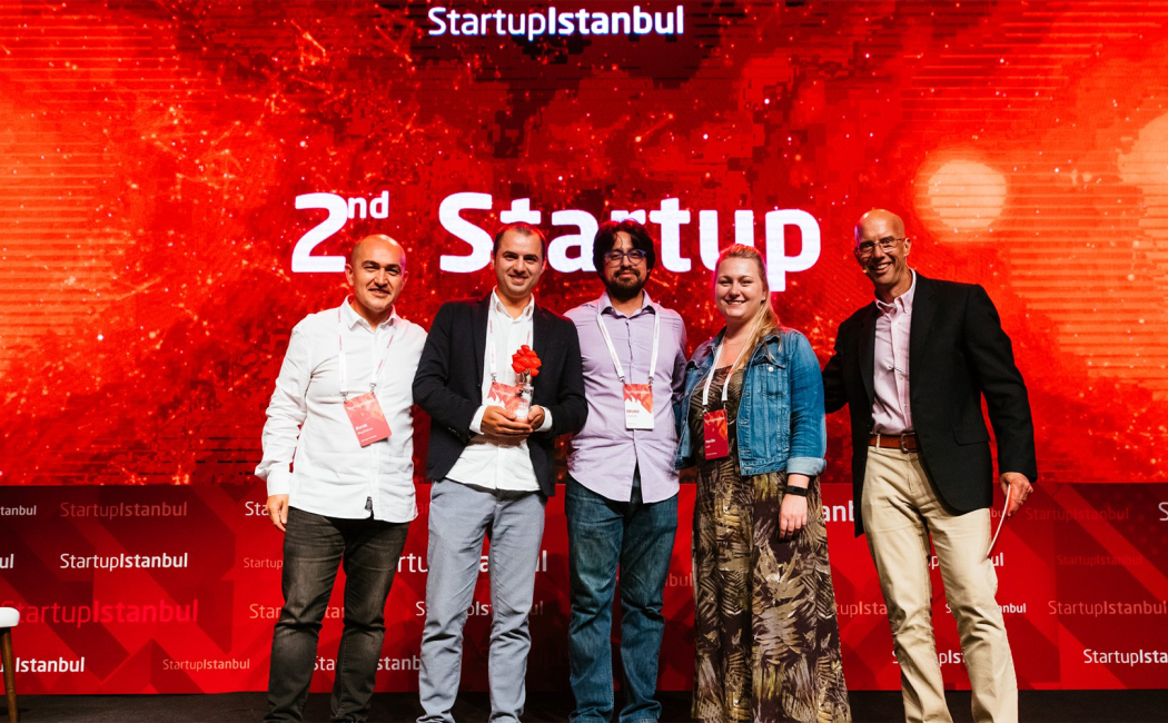
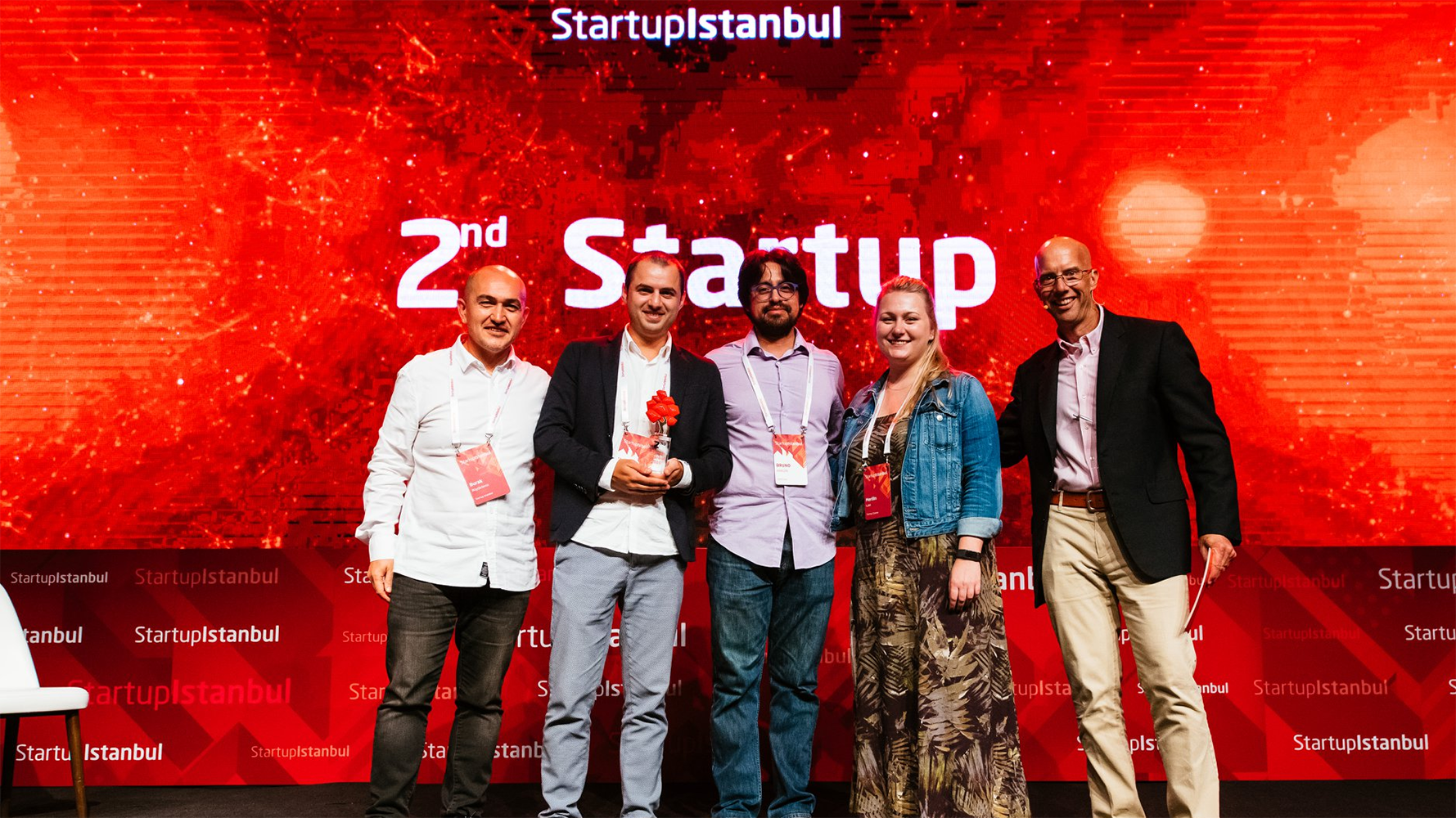
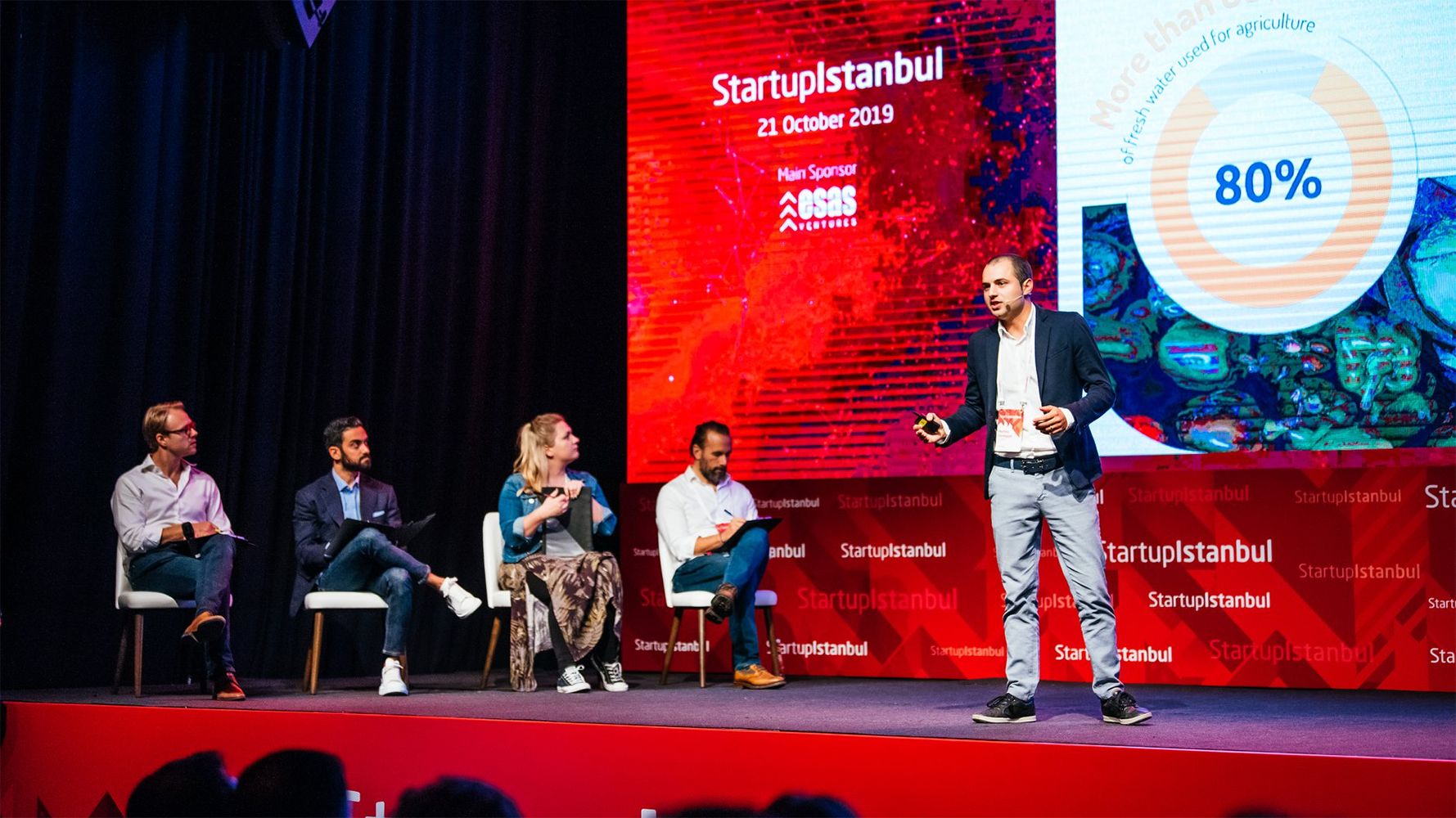
To empower farmers in better managing their fields, Bruno Aragon Solorio and Matteo Ziliani painstakingly developed a state-of-the-art satellite analytics program under the supervision of Professor Matthew McCabe; hence, OrbitCrops was born. OrbitCrops leverages satellite images to provide information that could help farm managers produce more food using fewer resources such as fertilizers or water. Farmers can access OrbitCrops analytics from any internet-connected device like computers or mobile, tailored to work best under harsh conditions. "We want our customers to enjoy using our solution, so we strived to make it simple and easy to use. Applying our solution, farmers can push their productivity to the limit." Bruno said. If implemented at a large scale, OrbitCrops can help to significantly reduce the rate of crop water use in the entire region.
