

20 March, 2022

Runoff in coastal waters is linked to pollution and degradation of coral reefs and other marine ecosystems. Unmanned aerial vehicles (UAVs) have now been used to overcome the challenges of monitoring water flow between ecosystems and over large areas.
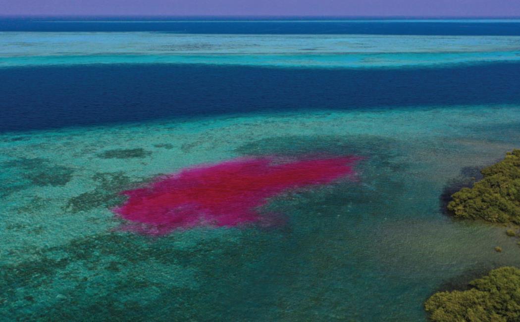
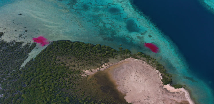
High-frequency hovering UAV images and flight surveys were used by KAUST researchers to track the movement of dye plumes released during an ebbing tide. Led by remote sensing researcher Kasper Johansen, the team also used information from aerial images combined with field measurements to map dye concentrations, providing insights into the dispersion of materials in the water column and along the coast.